
Tooro –semuliki wild life reserve.
Tooro-semuliki wild life reserve is located in western Uganda and it lies within the districts of Kabarole and Ntoroko near Semuliki national park which is mainly known for bird watching like rare shoebills. Semuliki national park covers 542 square kilometers set aside in 1926.
Katonga wildlife reserve.
Katonga wildlife reserve is located on the banks of river katonga and is known for rare mash dwelling sitatunga antelope.
Kabwoya wildlife reserve.
Kabwoya wildlife reserve is a hidden game reserve on the floor of the Albertine rift valley which offers a great opportunity for bird watching.
Kyambura wildlife game reserve.
Kyambura wildlife game reserve is a reserve for queen Elizabeth national park and a home to many primates like habituated chimpanzees.
Bugungu wildlife resereve.
Bugungu wildlife reserve is a buffer zone for Murchison falls park on western side and a home for over 250 species of birds and several mammal species.
Karuma wildlife game reserve.
Karuma wildlife game reserve is on the eastern side of Murchison falls national park and it is the best place for watching aquatic birds.
Ajai wildlife game reserve
Ajai wildlife game reserve stretches in the north west near current Arua district with aquatic animals like hippos, crocodiles, pythons. Initially it was managed by local chief called Ajai in 1930’s hence its name and were known in the past for white rhinos but they are now extinct. It covers around 166 square kilometers.
Kigezi wildlife reserve.
Kigezi wildlife reserve is a home for lions, chimpanzees, elephants, leopards which are some of the most admired animals.
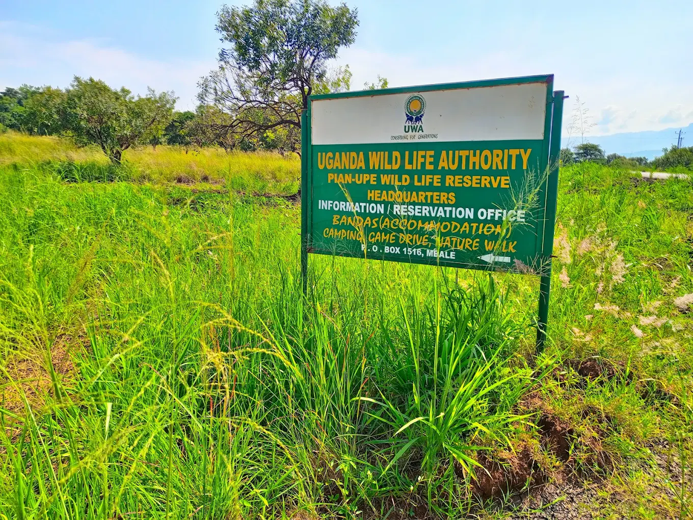
Pian upe wildlife reserve.
Pian upe wildlife reserve is one of the most protected areas in Karamoja sub region in north eastern Uganda and it covers an area of 2788 square kilometers. It was set aside in 1964.
MOUNTAINS
Rwenzori mountain.
Rwenzori mountain is the highest mountain range in Africa and its loftiest peaks are Margherita (5109 metres) and Alexandra (5083 metres). It is unique among East Africa’s peak because they are not volcanic in origin.
They have a good spectacular experience of snow caped peaks, glaciers, V shaped valleys, fast flowing rivers with one magnificent water falls, clear blue lakes. Rwenzori mountain is situated in western Uganda in Kasese district.
Elgon mountain.
Elgon mountain is an extinct shield volcano with the largest surface area in the world.
Wagagai peak is the highest point of mount Elgon (4321 metres) and it is the eight highest peak in Africa.
Mount Gahinga, Muhabura and Sabyinyo are part of the Virunga mountains located on the border between Uganda, Democratic Rebublic of Congo and Rwanda.
Geologists’ estimate that mount Elgon is at least 24 million years old making it the oldest extinct volcanoe in East Africa.
Mount Moroto.
Mount Moroto is 3083 metres high located in the North Eastern part of Uganda. It comes/ derives its name from ‘’moruto’’ meaning the western mountain derived from the word ‘’moru’’ meaning mountain and ‘’to’’ meaning west. It was named so because during migration of the native tribes who originated from Ethiopia it appeared west.
Mount Muhabura.
Mount Muhabura is also known as Muhavura. It is an inactive volcano in the Virunga mountains on the border between Rwanda and Uganda. It is 4127 metres and the third highest of the eight major mountains of the mountain range which is part of the Albertine rift valley on the western branch of the east African rift valley
RIVERS IN UGANDA
River Nile
It is the longest and the most famous river in the whole world. River Nile is 6650 kilometers long with its source beginning from lake Victoria in Jinja city, eastern Uganda. At this point, the water spills out of lake Victoria on its journey to the Mediterranean sea. The source of the Nile is the most and greatest adventure destinations along this river in Africa. The activities that can be done on this river are white water rafting, bungee jumping, boat cruises, sport fishing, mountain biking along the Nile, horseback ride along the Nile, quad bike safaris along the Nile etc. The longest river has a drainage basin that covers 11 countries that is to say; Uganda, Tanzania, Rwanda, Burundi, Democratic Republic of Congo, Kenya, Ethiopia, Eritrea, South Sudan, Republic of Sudan and Egypt.
River Semuliki
It has a length of 140 kilometers and this river flows through Democratic Republic of Congo and Uganda. The source of this river starts at lake Edward near the substation of Ishango on the Democratic Republic of Congo side of the border and it proceeds crisscrossing and even forming part of the border of the Democratic Republic of Congo and Uganda until it reaches its mouth at lake Albert near the city of Bunia in Democratic Republic of Congo.
The river goes through Rwenzori mountains national park, Semuliki national park thus this river helps many different animals to thrive in the parks and also different tribes that live along this river like the Bakonjo, Batuku and Batwa peoples.
River Sezibwa
It has a length of 150 kilometers and it is the third longest river completely within the boundaries of Uganda. The source of the river starts at Ngogwe in Buikwe district, proceeds to the northern direction until it reaches its mouth at lake Kyoga in Kayunga district. It is on this river that we have Sezibwa falls 7 meters high are taken as a heritage site of Buganda. It is also good for bird watching, rock climbing and experiencing of sights and sounds.
River Kagera
Its length is 400 kilometers and it flows through Burundi, Rwanda,Tanzania and Uganda. The rivers source starts flowing out of lake Rweru in Burundi, goes east crossing along the border of Burundi and Rwanda and the border of Rwanda and Tanzania. The river meet at a confluence with the Ruvubu River and then it flows northwards continuing along the border of Rwanda and Burundi before finally crossing into Uganda where there is a biggest inflow of water into the lake.
River Katonga
Its length is 220 kilometers and this makes it the longest river completely within the boundaries of Uganda. The rivers’ watershed is now the swampy region that is found south west of lake Wamala due to regional uplifting of the land in the Albertine rift that is part of the great east African rift valley. From the swampy region, the Katonga River mostly flows in the eastern direction until it reaches its mouth of Lake Victoria although it is supplemented by a few tributaries along the way.
River Kafu
Its length is 180 kilometers and it is the second longest river within the boundaries of Uganda. The rivers source starts at Kitoma swamp in Kibaale district and then it starts to flow east before it turns north where it reaches its mouth at Vicotria Nile near Masindi port town in Masindi district.
LAKES IN UGANDA
Lake Victoria
It is the largest lake in Africa and the world’s second largest fresh water lake with a surface area of 59947 square kilometers after Lake Superior in North America. This lake was named after Queen Victoria of United Kingdom by the explorer John Hanning Speke, the first European to see and document Lake Victoria. It is also locally known as “Nnalubaale” in Luganda which means the home of the great spirit.
This lake was formed by the filling of a shallow basin that had been created by the down warping of the rock beds in the east African plateau.
Lake Victoria’s area is divided among 3 east African countries with;
Uganda________________45% or 31,000 square kilometers
Tanzania_______________49% or 33,700 square kilometers
Kenya__________________3% or 4,100 square kilometers.
Among these 3 countries that border lake Victoria, Uganda is the most famous because River Nile the worlds’ longest river has its source in Jinja city in lake Victoria and most important rivers flow out of Lake victoria.
Lake victoria is a home to over 3000 islands and people for example the famous Ssese islands, Buggala island among others.
Lake Bunyonyi
It literally means the place of many little birds and is one of the most beautiful lakes in Africa located in south western Uganda.
It is also believed to be second deepest lake of Africa at about 900 meters dep. This lake has a surface area of 46 square kilometers. It is near Bwindi impenetrable national park and Mgahinga national park that are well known for Uganda Gorilla Trekking.
Lake Edward
It has a surface area of 2325 square kilometers with a good spectacular experience situated on the flow of the great east African rift valley with an elongated shape shared by Uganda and Democratic Republic of Congo.
Lake George
It is a smaller lake with a surface area of 250 square kilometers. Both lake Edward and George are connected by 40 kilometers Kazinga channel, a meandering silver strand which runs right through Queen Elizabeth national park and at this point, it is believed to have the worlds’ concentration of hippos, also good for great bird watching along the shores of this channel.
Comment (0)